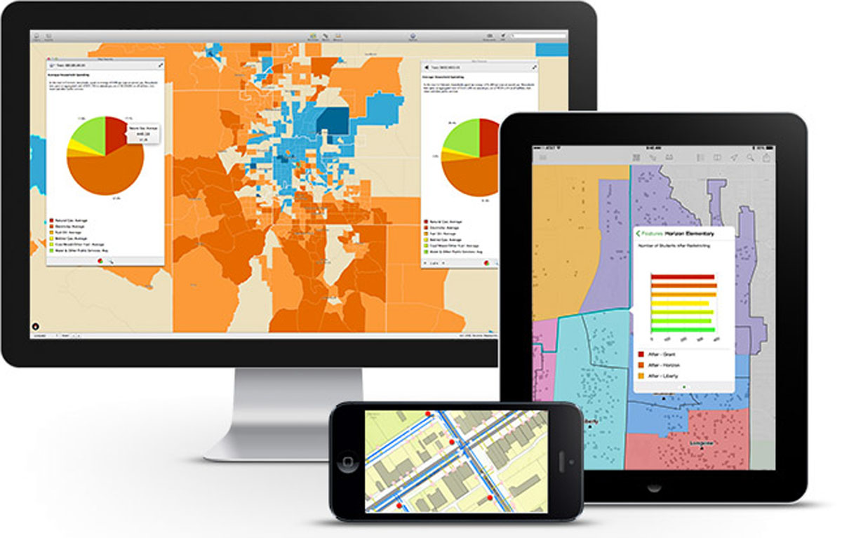
Explorer for ArcGIS is a native app that runs on IOS and Android smartphones and tablets, allowing you to take your maps with you wherever you go. Essential for field work, you can display valuable information from your organization, or choose from a plethora of maps and data publicly available on ArcGISOnline.
Use maps offline: Don’t let remote locations hinder your productivity. Take your maps, imagery and raster data offline to eliminate the need for connected devices in the field. Expand your business and capabilities by leveraging this powerful tool.
Markup your maps: With easy to use markup tools, you can sketch and add notations right on your maps. Lines and shapes can be used to label important features, call out areas of interest and identify key locations. Share these maps and notations with office and field crews alike, for a seamless workflow.
Compass Tool: Can’t find that fire hydrant you pinpointed earlier? Find your desired point in the search results and use the compass tool to find your destination quickly and easily. Select the fire hydrant (or object of interest) and click the compass tool, and you’ll be navigated directly to the object! Directions can be integrated with Navigator for ArcGIS and Google Maps.
In Utah, Ogden City Water employees utilize Explorer for ArcGIS to query, identify and access up-to-date, secure city water data while out in the field. Quickly and accurately locating these data locations is essential in their daily workflow. Offline maps and data points are key to driving productivity in remote settings.

The Horry County Bike Fest leverages Explorer for ArcGIS to inform the general public of road closures, detours and traffic accidents during their annual motorcycle festival. The maps are made freely available for download, and are a great way to keep their residents up-to-date by the second!
From Hawaii lava flow risk maps to parcels of land in Palm Desert, California, the possibilities are endless when it comes to displaying your maps and data. Find out how Explorer for ArcGIS can help your business boom. Contact our experts at support@geomarvel.com to learn how you can implement this powerful tool in your business today.


