
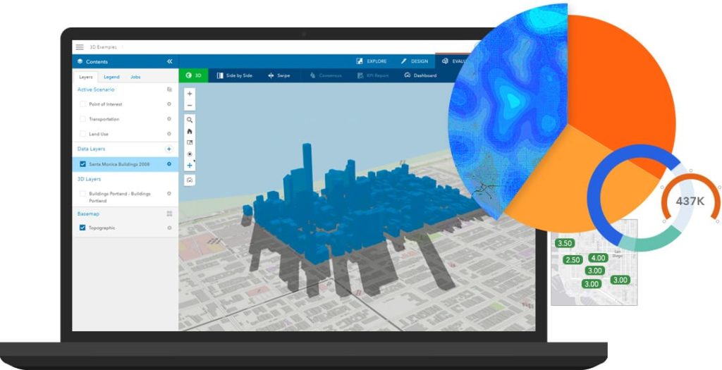
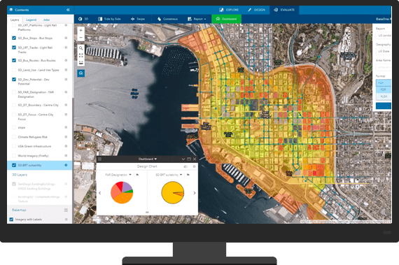
GeoPlanner for ArcGIS is a web-based planning and designing tool that allows you to perform qualitative data analysis, evaluation and 3D visualization on alternative planning scenarios, helping you make better, more informed decisions. Collaborate and create numerous scenarios on the city, regional and landscape scales, to determine your best plan moving forward.
Don’t have any GIS experience? No problem! GeoPlanner for ArcGIS is an easy-to-use tool, readily accessible to non-GIS professionals. Draw various land-use scenarios, get real-time visual impact charts, and compare impacts of plans as they’re designed.
Measure the impacts before they exist, using KPIs (key performance indicators), on the fly spatial analysis, and scenario comparisons.
Design, Test, Share
Work individually, or collaborate with a team when designing a new scenario. Analyze 2D or 3D models with live dashboards showing you all your key performance indicators. Compare side-by-side scenarios to let the data tell the story, then share your well-founded results.
Examples: GeoPlanner for ArcGIS in Action
Placer County Sees Planning Decision Impacts in Real Time
With one of the highest population growth rates in California, Pacer county took the initiative to plan ahead with GeoPlanner for ArcGIS. They successfully integrated this new tool to assist in performing key financial impact analysis for land use in Pacer county.
In the past, Pacer county had relied heavily on outside consultants to assist in creating an effective financial analysis. But GeoPlanner for ArcGIS allowed them to take their cost-benefit analysis in-house, with great results.
“Using GeoPlanner, we see and understand in real time the financial impacts of land use change on a project. As land use changes in the plans, GeoPlanner helps us explore the greatest cost benefit to the county and its citizens.” – Kelly Berger, Placer County GIS coordinator.
Rebuilding with GeoPlanner
See this video portraying how GeoPlanner for ArcGIS could have been used in Soma City, to collaborate and generate the best plans for rebuilding after a devastating magnitude 9.0 earthquake.
Learn More
Make more informed decisions by choosing the right tool for the job. All you need is a little GIS insight to get you set up correctly. Reach out to support@geomarvel.com to speak with our GIS professionals today.


