
Drone2Map for ArcGIS has opened the door to new possibilities. Capture previously unobtainable imagery from difficult to reach areas. Collect data for yourself, and acquire professional grade, high-resolution imagery only available via drone mapping.
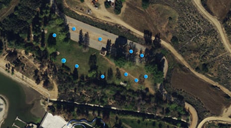
Start with Collector for ArcGIS to collect ground control points, and integrate the collected points straight into your Drone2Map for ArcGIS projects.
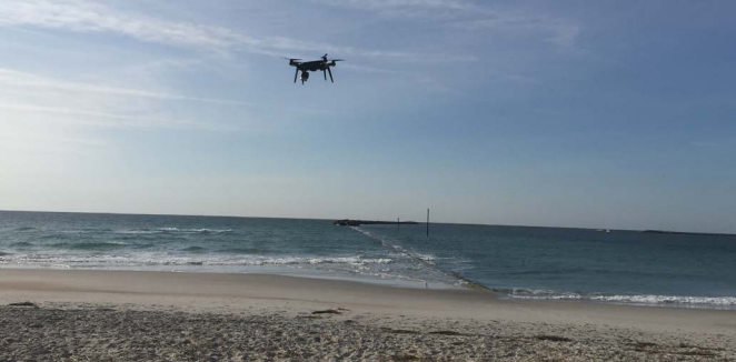
Not sure if you got the shot? No problem! Review all you drone imagery on the spot, while you’re still out in the field to ensure you don’t miss anything.
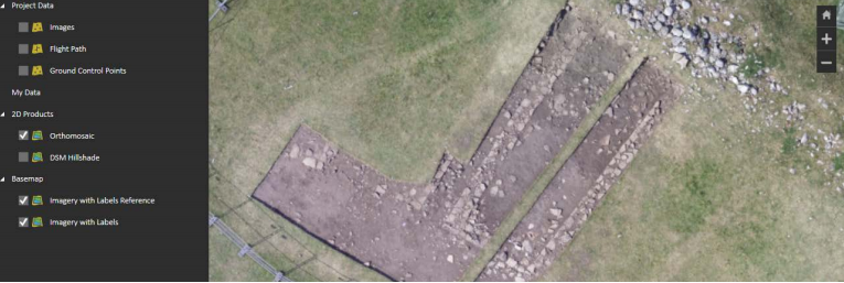
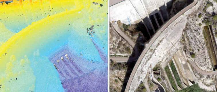
Back in the office, your data and imagery are ready for immediate use in both GIS and CAD programs. Streamline your imagery workflow via Portal and ArcGIS Online to share your work and collaborate efforts. Use ArcGIS Pro to analyze elevation profiles and reveal volumetric measurements associated with your data. Build interactive 3D models using meshes or point clouds, to create truly immersive experiences.
Case Study: Archaeologists Use a Drone to Map a Dig
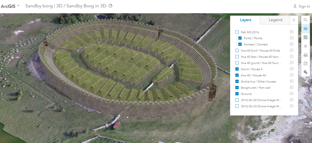
A team of archaeologists at Sweden’s Kalmar County Museum, recently flew a drone over the Sandby Borg ring fort. This fifth century refuge was photographed and the imagery was promptly processed using Drone2Map for ArcGIS.
In a single day, the team was able to gather a high-resolution basemap and an elevation profile for the site. The resolution quality allowed them to find traces of house foundations within the fort. As the excavation began, daily drone imagery allowed them to document the entire process.
Collector for ArcGIS assisted the team in documenting artifacts, including food remains, lamb bones, fish and human skeletons. This site, untouched for 1,500 years, was determined to be the location of a terrible massacre around 480 AD.
With drone technology and Drone2Map for ArcGIS, a digital model of the fort was built, showing the houses, grass roofs, and defensive wall. The resulting model is now a part of history within the Kalmar County Museum’s website, allowing visitors to explore the ancient fort and follow along with the excavation as it unfolds.
“Going digital is a huge leap for archaeology. Esri’s technology reduces our workflow, saving us three hours per person per day. It changes how research is being conducted and how findings are reported. Archaeologists can now dig, document, and make their results available in real time.” – Fredrik Gunnarsson, Archaeologist with Kalmar County Museum
See how others are using drone technology with GIS
Get Support
Reach new heights with drone technology and Drone2Map for ArcGIS. Not sure where to start? Contact us to strategize with our GIS professionals today.


