
ArcGIS Hub provides an engagement platform for governments and their citizens. ArcGIS Hub organizes people, processes and technology, by combining data, visualizations, and analytics with government-citizen collaboration.
Policy-driven goals brought to life through tools and analytics, all while measuring progress and outcomes. This gives every resident the ability to gather new data, explore information, and share insights with the community and their government.
Leverage ArcGIS Hub
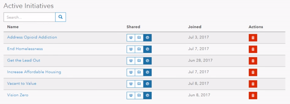
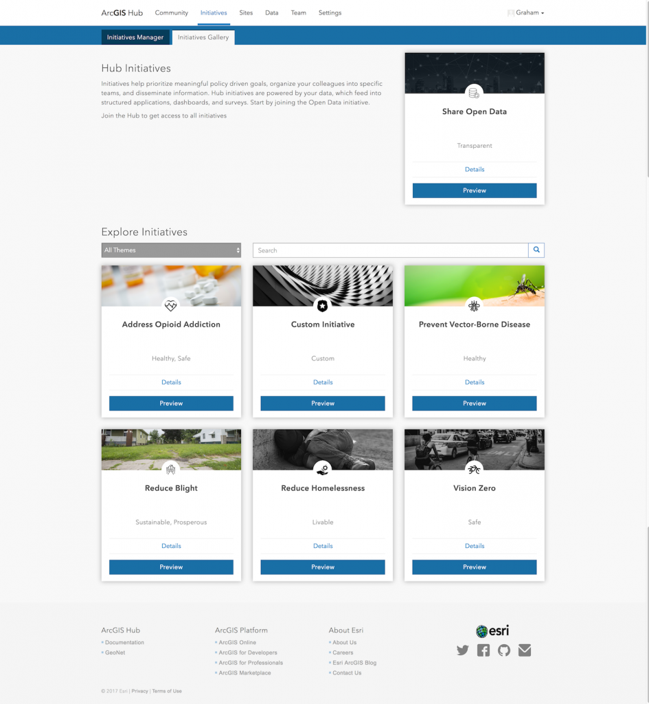
- Create and launch initiatives from out-of-the-box templates.
- Put your open data to work – Combine esri demographics with Living Atlas data to power up your apps.
- Gain citizen participation – Community members can create personal accounts via social media logins, allowing them to collect data and respond to surveys and polls.
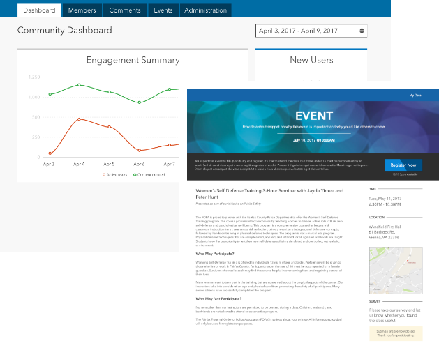
- Tell better stories – Use story maps, dashboards, and infographic reports to present your data, share information, measure progress, and show accountability.
- Build, repeat, scale – Form initiative teams, and plan focused meetups and events.
With built-in event creation, sharing on the Hub or Hub mobile app is easier than ever. Discover innovative solutions by gathering community feedback regarding existing or potential problems. Open data allows searching among tens of thousands of datasets, to provide real help to people with real world problems.
ArcGIS Hub in Three Easy Steps
- Inform the public – Make data easily accessible to public for viewing and download.
- Listen to the public – Gather community feedback with surveys and crowdsourcing tools.
- Monitor progress – Use dashboards to share real-time statuses with the community and government.
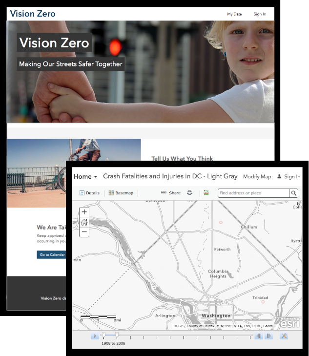
Vacant to Value: Vacant Lot Opportunities in South Bend, Indiana
The city of South Bend aimed to demolish vacant buildings in a specific neighborhood, and put the land to better use. By involving their community, and listening to their wants and needs, real world feedback reported a need for increasing community garden space in the area. ArcGIS Hub is a powerful collaborative tool, allowing the community to speak directly to their local government about important issues that affect the entire community.
Ready for the Next Step?
Answer these seven questions to reveal your city’s geospatial and operational maturity, to assess how ready your city is for ArcGIS Hub.
Is your community ready for ArcGIS Hub? Contact our GIS experts at support@geomarvel.com for support in building your smart community.


