
With ArcGIS Maps for Power BI, it’s time to start learning more from your data. Most data today includes built-in location information. If you’re not using location data to learn more about your customers, you’re missing a key piece of the puzzle.
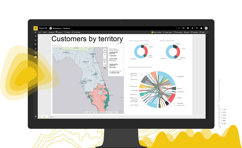
Available inside Microsoft Power BI, this powerful tool allows you to create visually stunning maps to display all your location data, while discovering patterns and data trends. Let the data speak for itself with smart mapping to display data points, areas, or clusters.
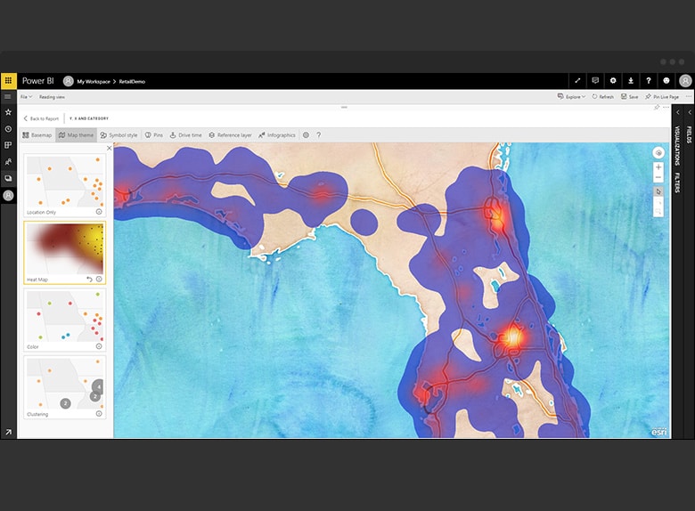
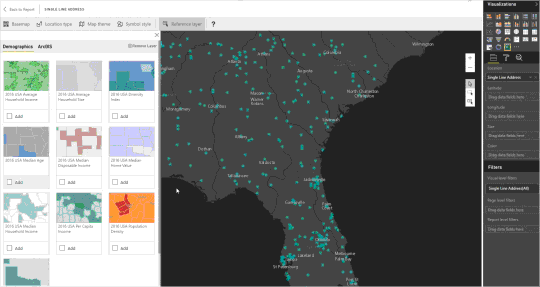
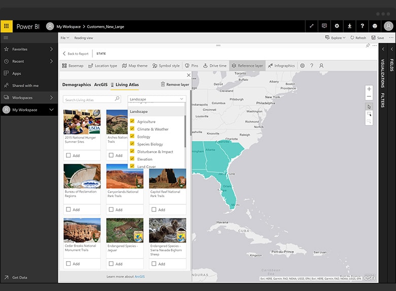
Incorporate ready-to-use data straight from ArcGIS, to give more detail about your maps using hundreds of demographic and reference layers such as income, population, and weather.
Map locations including addresses, cities, states, zip codes, boundaries, latitudes and longitudes. With simple spatial analysis tools, quickly calculate heat maps or drive times, and bring patterns and trends to light with accurate spatial analysis.
ArcGIS Maps for Power BI in Action
Video: Boost BI with Maps using ArcGIS Maps for Power BI
Video: Disease Outbreak Analysis with Power BI
See this step-by-step walkthrough to manage ArcGIS Maps for Power BI for your organization.
Get Support
Ready to integrate ArcGIS Maps for Power BI into your workflow? Contact us today to strategize with our GIS experts.


