
Are you an early adopter?
Virtual reality is a fully immersive digital setting, disconnected from the outside world. In the realm of virtual reality, GIS can be used for education, planning, and training purposes.
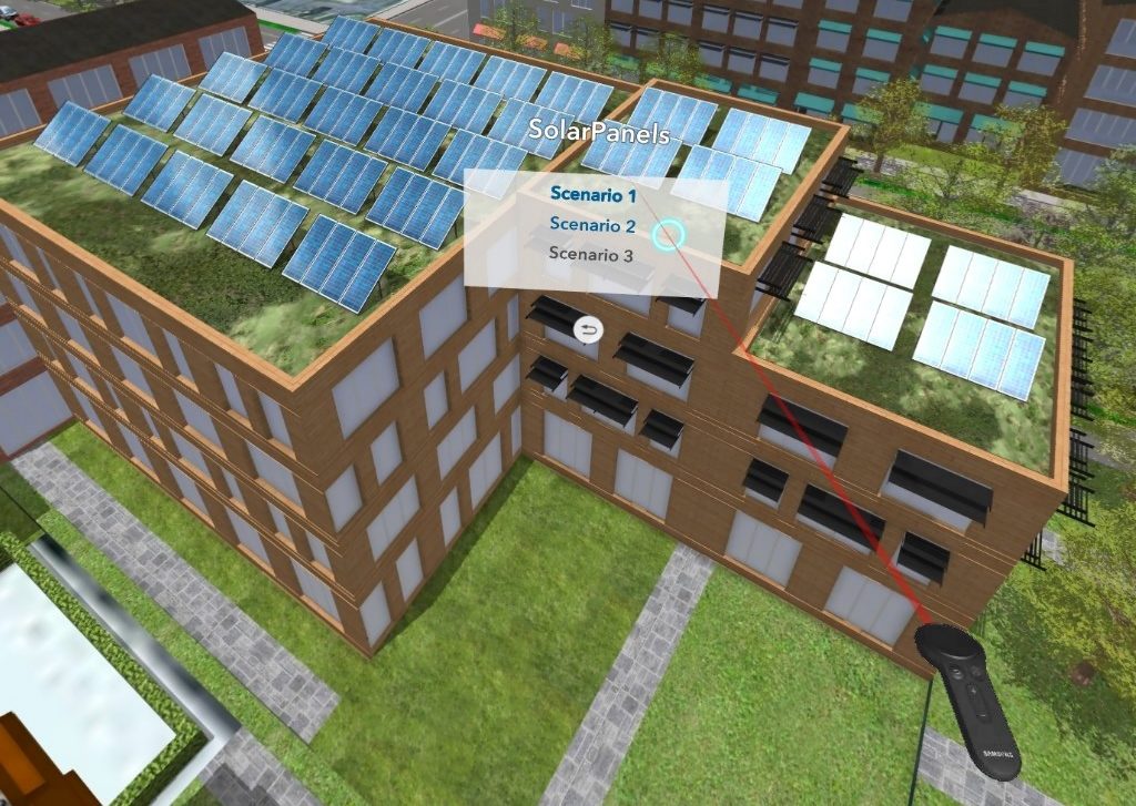
Esri has rolled out the ArcGIS 360 VR app, which lets you become fully immersed in a virtual reality environment. With a little help from the proper VR gear, like that from the Oculus platform, users can view 3D city models from the viewpoint of a local citizen with their feet on the ground. Leverage the power of CityEngine to construct various urban design scenarios, and step into your city with the ArcGIS 360 VR app to compare designs from the front lines. Hosted on ArcGIS Online, this technological collaboration leverages the cloud, making this VR for GIS experience available from your smartphone.
“By using ArcGIS 360 VR, our planning board and jurors can now study the impact of new architectural developments and urban planning scenarios from the perspective of pedestrians and citizens.” Christian Huerzeler, project manager at the Department of Urban Planning in Zurich.
[arve url=”https://youtu.be/lcLEOGO1JPE” title=”ArcGIS 360 VR” description=”ArcGIS 360 VR” /]
Are you ready to take advantage of the power of VR for GIS?
Contact our industry experts at GeoMarvel to learn more today.


