
Highly focused on location-based data, GIS for political campaigns can power up your efforts. Which demographics and areas should be targeted to best utilize campaign spending? In any given area, how likely are people to cast their vote?
GIS for Political Campaigns
- Power up campaigns with GIS by integrating maps, analytics, and location-based apps.
- Guide early voters, identify poll locations, share real-time election results, find elected officials, create redistricting plans, and manage election campaigns.
- Streamline citizen participation with apps to help voters find voting centers, check wait times, and see real-time election results.
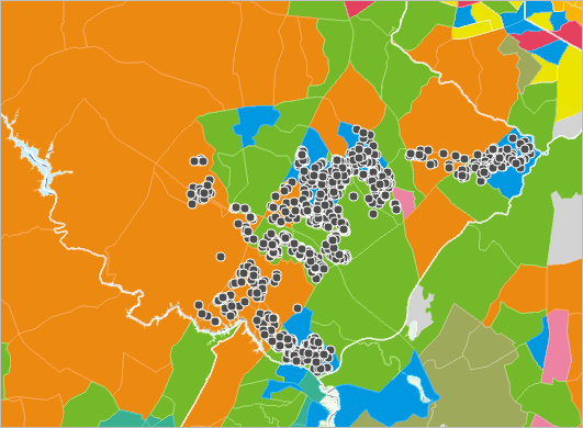
- Geocode voter addresses, optimize polling locations, and manage election sites and staff in real time.
- Increase citizen engagement in redistricting plans with esri’s web-based redistricting solution.
Find your target market, and improve campaign effectiveness with analytics and demographics.
Find detailed examples of GIS use in political campaigns
Ready to fully leverage the power of GIS for political campaigns? Contact our industry experts today to start a conversation.


