Location-based mapping is revolutionizing how we view and interact with the world around us. Indoor GIS mapping technologies have stepped indoors to construct 3D virtual reality settings. With GIS for indoor mapping, virtual reality gear or a simple web map allow you to explore a 3D version of any previously mapped indoor space.
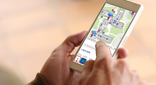
Building-wide maps are allowing users to quickly identify, route, and locate resources within a mapped space, using platforms such as ArcGIS Indoors. Recently announced by esri, this technology will promote higher levels of collaboration and productivity by increasing sharing capabilities via workplace maps.
Indoor mapping technologies are allowing engineers, architects, and emergency planners to navigate an indoor environment without ever physically stepping foot in the buildings. Professionals can acquire detailed building measurements, and locate important building assets. Companies like Indoor Reality are helping to drive the technology of GIS for indoor mapping.
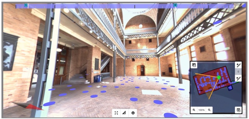
“Few energy engineers have opportunities to work with game changing engineering tools – but I did when I used Indoor Reality’s handheld and backpack data acquisition systems for separate energy audits. In addition to Indoor Reality’s tools, collection of energy specific information such as windows and wall area, building orientation and thermal images, the virtual walkthrough and annotation features allowed me to ‘revisit’ the mechanical rooms … and come up with energy saving ideas that I might otherwise have missed.” – Jon Lemmond, Baumann Consulting
Discover the power of GIS for indoor mapping, and learn how you can start leveraging this technology for your organization by contacting our industry experts today.