
Clearly street view imagery has advantages in navigation, by letting you experience a 3D panoramic of each turn, helping drivers recognize new areas. After a natural disaster, street view imagery can be recorded to help assess damage and help determine assistance needs throughout an area. In addition, street-level imagery can be studied for the purpose of historical analysis, to see how buildings and infrastructure have changed over time. But that’s just the tip of the iceberg for applications of street-level imagery.
3D panoramic street-level mapping is opening new doors in the GIS world. Largely built through community efforts, these open source maps allow users to both contribute to GIS street view data, and leverage open source data to bring new ideas to life. Already being used for navigation, disaster management, historical analysis, and accident reporting, street-level views are adding a new dimension to GIS applications.
See how companies like OpenStreetCam and Mapillary are creating comprehensive street views all around the world, with a little help from the community.
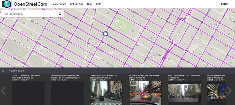
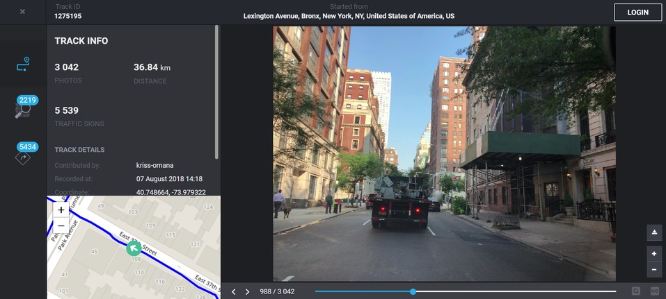
OpenStreetCam
OpenStreetCam is another community mapping effort that enables you to record your drive and add images to the data bank. Dive into OpenStreetCam by downloading the application for Android or iOS. OpenStreetCam creates a game-like environment where previously unmapped roads are worth 10x points to help you move up the leaderboard. Start collecting valuable images and level up in the scoreboards.
Mapillary
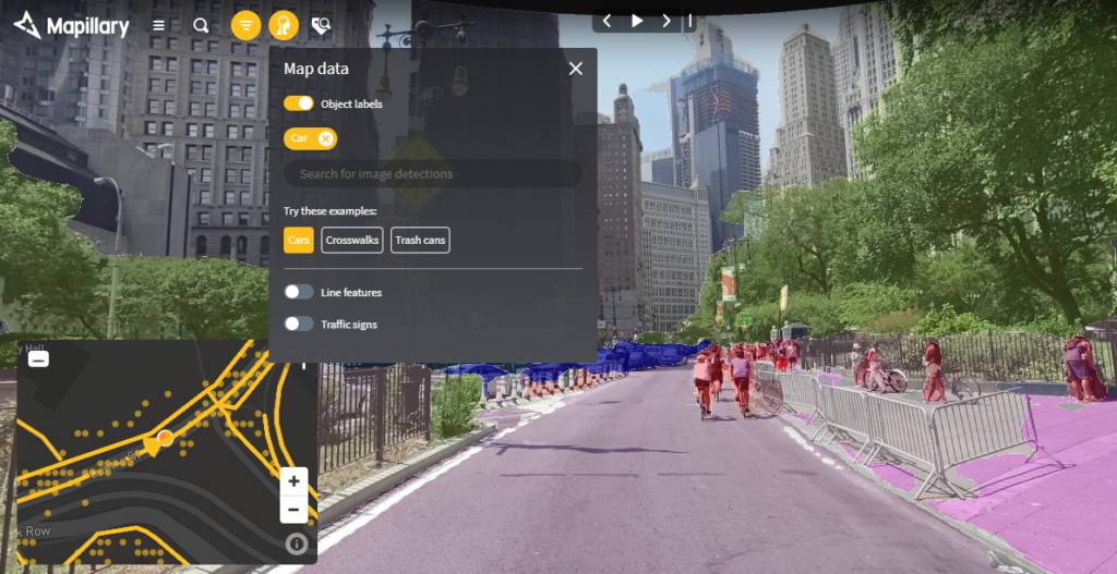
Another mapping solution, Mapillary, is where GIS meets computer vision and street-level imagery. Using semantic segmentation, Mapillary uses computer vision to automatically detect and label objects within each street-level image. The map shows image and object locations as you move through an area. And line features are located by combining image detections across multiple images, so that features such as guardrails and bike lanes can be portrayed in the map view. Further, traffic signs are automatically detected and highlighted in the street view images.
Explore Mapillary’s imagery and data from across the globe, and find out how this technology is already being used by many companies around the world.
- LA Public Works saves time on asset inventory with automated data extraction.
- Erie County in Ohio matches images to parcels for land registration and appraisals.
- The Lithuanian Road Administration has started compiling the most up-to-date imagery for Lithuanian highways and roads.
- Vermont Agency of Transportation made 5 million images available to the public, and has merged this technology with their essential workflows including traffic sign inspection, surveys, and pavement & inventory maintenance.
- The City of Amsterdam captured and shared 800,000 panoramic images of the city as part of their open data initiative.
- Bike Ottawa made roads safer for cyclists by capturing 450,000 images spanning 2,000 km, to determine infrastructure needs and monitor developments over time.
- The City of Johns Creek, Georgia, crowdsourced Mapillary imagery to improve access to open data.
- The Red Cross began their Missing Maps project to map areas of the world vulnerable to natural disasters, conflicts, and disease epidemics, and therefore ensure timely aid delivery and damage assessments.
- Esri leverages Mapillary to bring street-level imagery to Esri maps.
- HERE partnered with Mapillary to improve HERE’s maps with fresher location data.
- Autonomous Intelligent Driving uses this technology to improve the Deep Neural Networks perception and prediction abilities for self-driving cars.
Get Support
Learn more about open source GIS street view data, and start leveraging this resource today. Send us a message to start a conversation with our industry experts.


