
Humans are changing the planet and affecting the natural habitats of many wildlife species. Impactful events include pollution and deforestation, which are causing fragmentation and extinction of many species. GIS has become an essential tool for analyzing, managing, and visualizing wildlife data. Geospatial analysis of species and their natural habitats is fundamental in assessing the health of a species, and can reveal trends to shed light on areas in need of additional conservation efforts.
Data is key
By incorporating a breadth of data types into GIS, conservation professionals can begin to implement strategies to sustain and protect native species. These data types might include species populations and distribution, ecosystem conditions, watershed boundaries, and land-use patterns.
GIS provides a tool to monitor, analyze, and visualize data. As data layers are overlaid on top of one another, key patterns become apparent between the animals and the land. These relationships provide insights to resource managers to visualize at-risk habitats and species that would benefit from conservation efforts.
GIS for Wildlife Conservation – Gorilla Behavior and Habitat Analyses
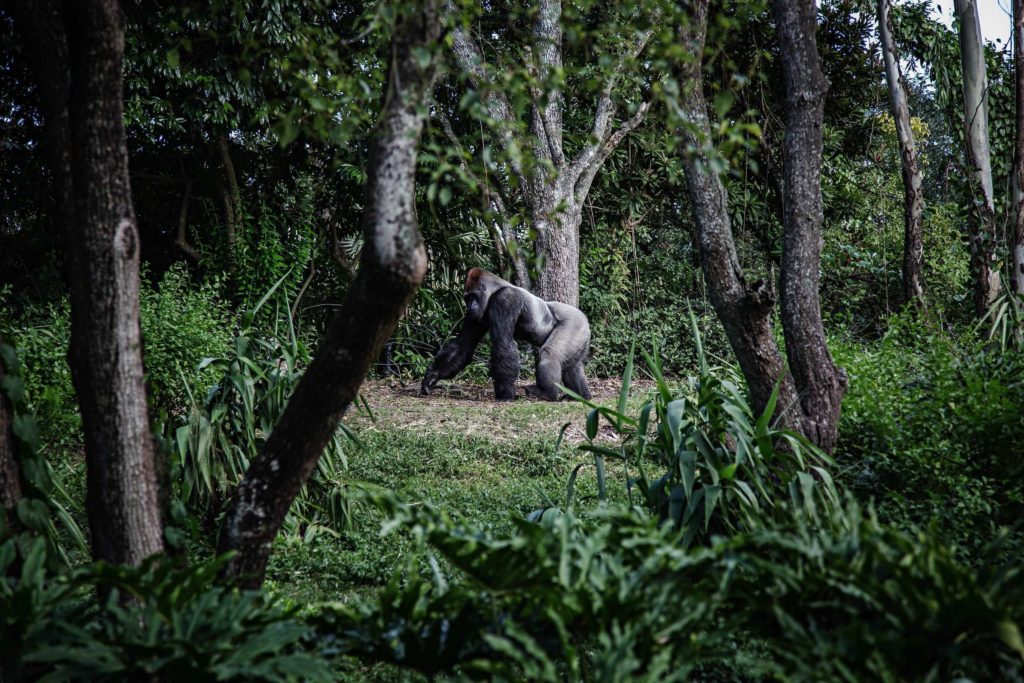
With ongoing observations, GIS helped disclose natural movements of the gorillas near the Virunga volcanoes of central East Africa, and revealed important nesting locations. Combining direct observation data from recent and past observations, allowed for the construction of an estimated habitat range for these gorillas. Establishing a habitat range is an important step for conservation efforts, as habitat location is key when determining exactly what areas need protection.
Discover Other Applications of GIS for Conservation Efforts
Get Support
Are you seeking GIS expertise for your business objectives? Whether for conservation efforts or visualization of geospatial data, you’ve come to the right place. Contact our GIS experts to begin your GIS journey today.


