
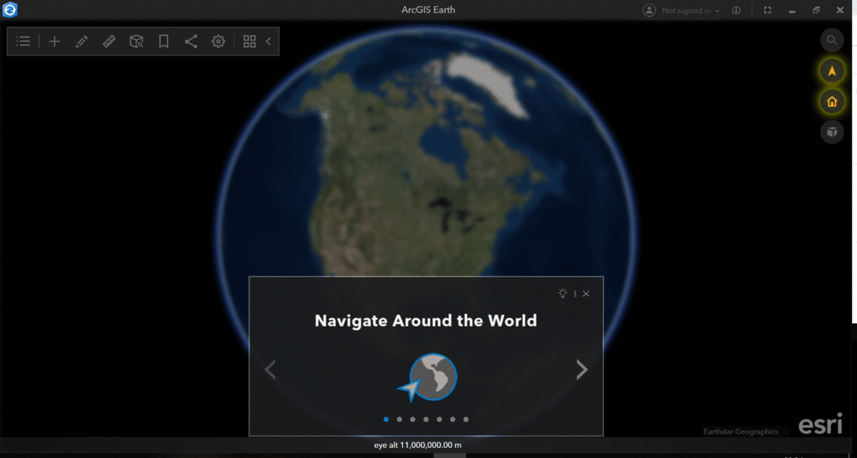
Wander the globe with ArcGIS Earth, a member of the esri geospatial cloud. Originally released in 2016, ArcGIS Earth offers a free, desktop-based interactive globe that’s free for all to use. Create and analyze 2D or 3D maps and data, add annotations, sketch directly on the map, and measure distances and areas. Connect directly with your ArcGIS Online/Portal accounts to add data, and continue analysis as normal. Step into the opening tour, which walks through and highlights some main components of ArcGIS Earth.
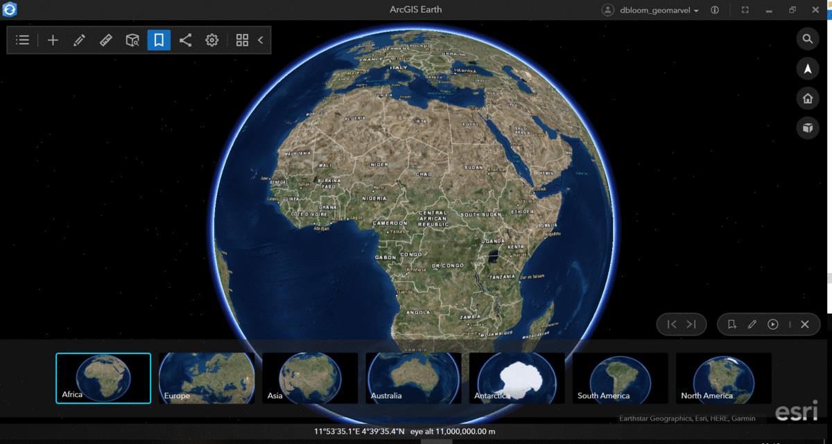
Bookmarks
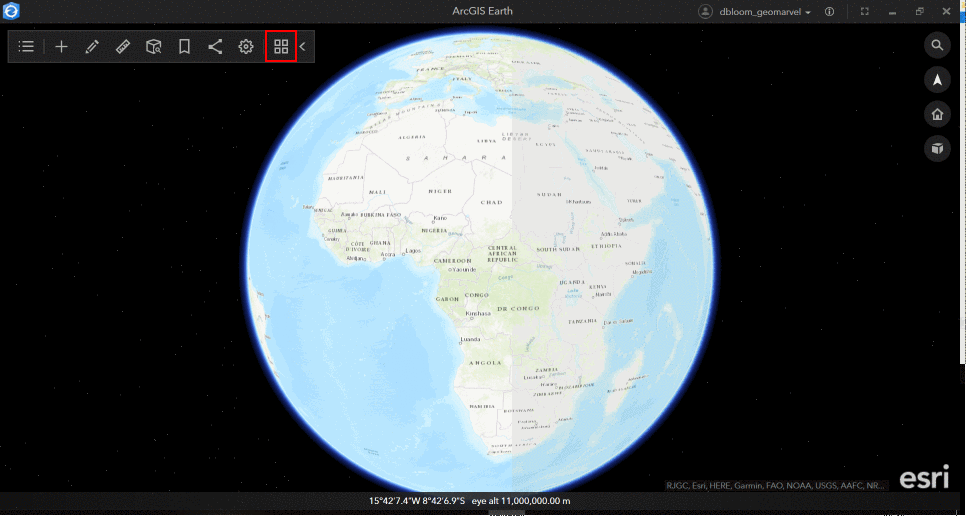
Add your own bookmarks and take a self-created tour that highlights desired locations around the world. The tour below guides you through all seven continents, simply made with a few easy clicks.
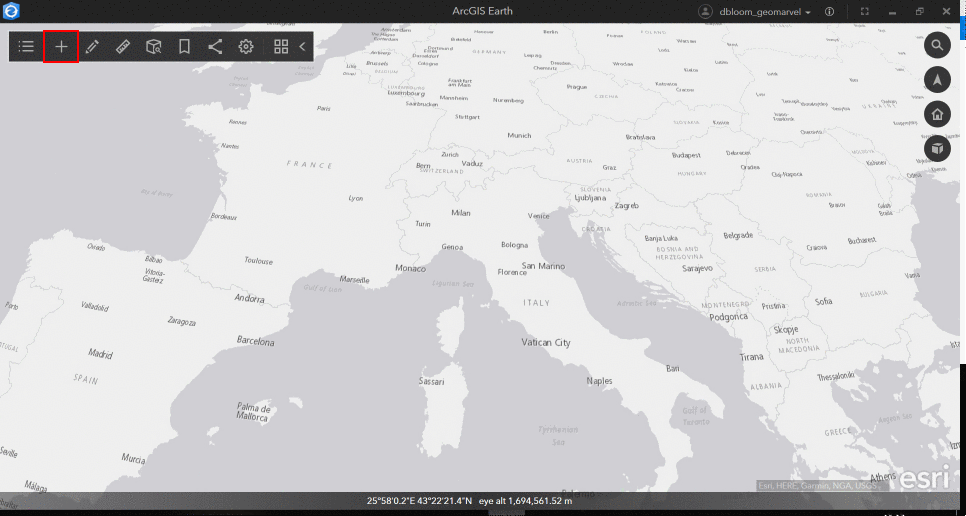
Add Data
Add data from all your usual sources like ArcGIS Online, your local files, URLs, and organizational files. ArcGIS Online offers data for just about anything, including live stream flood gauges to monitor incidents of flooding anywhere on earth. This particular flood observed in Italy appears to be moderate, but dive into the data to learn more about this 1.5 year flood event.
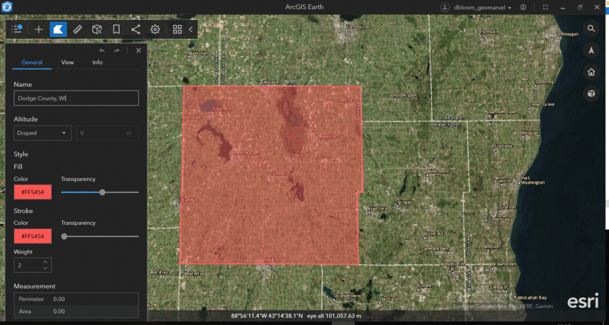
Sketch Tool
A quick polygon sketch left me with an outline of Dodge County in Wisconsin. Give your completed sketch a name, fill color, transparency, and determine your pop-up details. This simple tool allows you to mark up and annotate anything on earth.
3D Analysis
The 3D analysis tools provide deeper insight into areas of interest. The Elevation Profile tool allows you to place points, and see the entire elevation profile appear on a detailed graphic pop-up that includes elevation and distance data.
Leverage the Line of Sight tool to determine what can be seen from any given point. Choose your color scheme, and start clicking. Begin by placing the point from which you’re viewing the area, then move the pointer around, placing destination points along the way. In the figure below, green indicates visible areas, while red depicts non-visible ones.
Viewshed works very similarly to the Line of Sight tool, by projecting a color-coded visual for what can be seen from a given point on earth. Place multiple viewsheds, and play around with the bells and whistles, like the heading, tilt, horizontal/vertical angle, range and color scheme.
Basemaps
Explore and choose from all the available basemaps, or create your own unique basemaps to add directly into ArcGIS Earth. Choose the basemap that will best aid your data so you always create the most visually appealing map.
Check out the latest developments from the ArcGIS Earth 1.9 release in March of 2019. New features include enhancements to legacy KML/KMZ file types, support for 3Dconnexion SpaceMouse for 3D navigation, improved usability, and localization in three additional languages.
ArcGIS Earth ensures you can always securely access, share, and publish your ArcGIS Enterprise data and maps. It’s free to install and use, and fits right into existing workflows. Have you started exploring ArcGIS Earth?
Get Support
Have an idea for a custom solution that fits well with GeoMarvel’s professional services? We’d love to talk about it. Reach out to our industry experts to start a conversation today.


