
In a recent collaboration effort, we partnered with fellow Esri Start-Up Partners at FishViews to enhance their existing web application by expanding its capabilities to leverage 360-degree panoramic images of waterways on ArcGIS Online. Giving ArcGIS Online users the ability to integrate their own data and maps right inside the FishViews application.
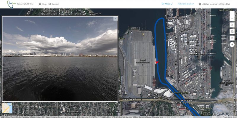
The premise behind the FishViews application focuses on offering its users the ability to tour waterbodies across the United States in full, 360-degree, panoramic view – both digitally and remotely. The application has proven to be very popular amongst the national parks services, fishing industry members, and most notably in the classroom. And due to this increasing popularity, our partners at FishViews decided that the application was ready for some added versatility by incorporating another avenue of reaching a grander audience, ArcGIS Online users.
To make the application more available for this larger audience, we assisted the FishViews team in migrating the self-hosted application to the ArcGIS Online interface and ultimateing into the ArcGIS Marketplace – an environment where anyone with an ArcGIS Online subscription or ArcGIS organizational account can download and access the FishViews application in one fell swoop.
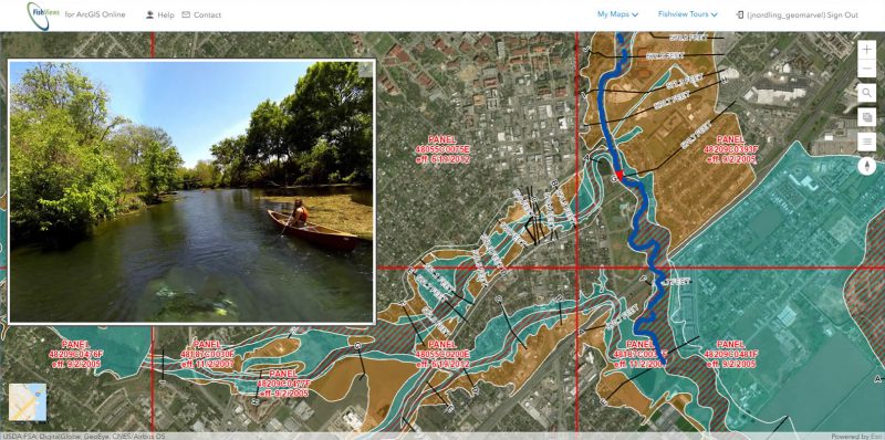
This not only opens the door to a plethora of untapped potential users, but it also provides these new users with the ability to import their own ArcGIS Online maps and data layers into the FishViews for ArcGIS Online application. ArcGIS Online users may also incorporate the FishViews data with other maps by simply plugging in the WebMap ID into the URL. The image below is an example of an ArcGIS Online user plugging in Flood Plain data with a FishViews tour of the San Marcos River in Texas.
Additionally, because the application has been opened up to ArcGIS Online users, the application can be opened up with other AGOL components, including:
Still looking to become an ArcGIS Online account user or not sure how to make your application available in the ArcGIS Marketplace? Contact one of our experts today at support@geomarvel.com and add some versatility to your organization’s data!


