GeoMarvel is thrilled to partner with SkyWatch to develop EarthCache! Discover the power of advanced satellite imagery capabilities with EarthCache’s ArcGIS Pro Add-In. Seamlessly integrate EarthCache into your GIS workflows...Read More
The Chesapeake Conservancy is a non-profit organization dedicated to preserving and restoring the Chesapeake Bay and its surrounding landscapes. In our latest blog post, we delve into the specifics of...Read More
In our recent partnership with PureWest Energy, we are proud to have supported them in bringing their 2021 ESG Report to life utilizing ArcGIS StoryMaps! Take an inside look into...Read More
It was awesome working with Synoptic Data in our most recent endeavor! Check out their data and ArcGIS Marketplace listings! Synoptic Data collects more than 96 million weather and geophysical...Read More
In our recent partnership with Dragonfly Intelligence, GeoMarvel was tasked with providing Professional GIS Consulting Services in order to assist with creating the TerrorismTracker dataset. This new data layer will...Read More
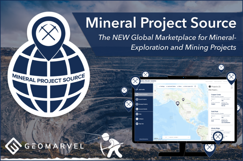
We are excited to have partnered with Mineral Enterprises to develop Mineral Project Source, a subscription-based GIS platform to link shoppers and vendors together with some of the best available...Read More
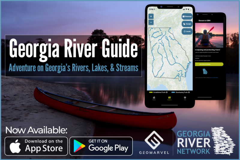
Discover our latest work with Georgia River Network to create "Georgia River Guide", an immersive mobile app that enables users to explore public access points, points of interest, river difficulty...Read More
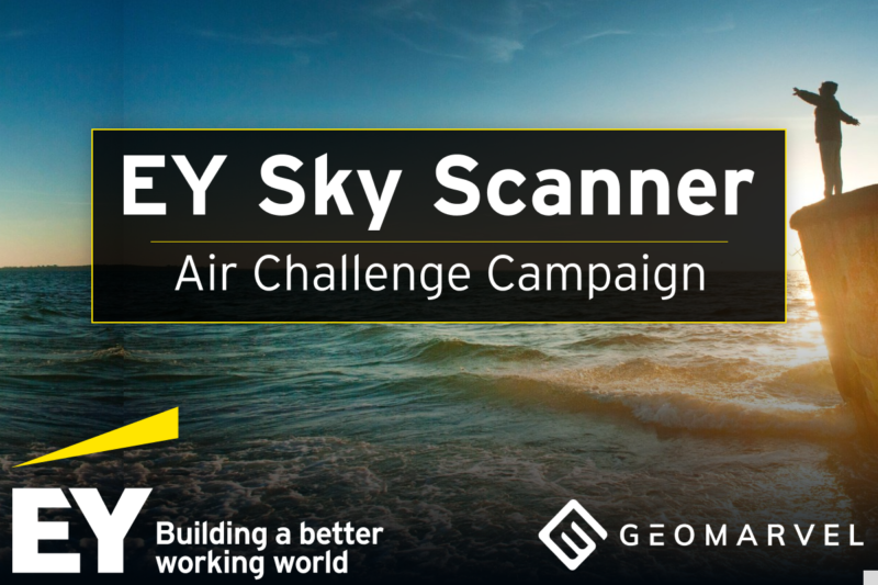
GeoMarvel partnered with Ernst and Young (EY) to create Sky Scanner -- an Esri Experience Builder web application designed to provide information on air quality: what it is, why it...Read More
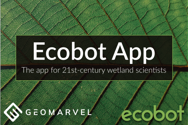
Ecobot is a wetland delineation application that allows users to survey and demarcate wetlands, collect data, and do on-the-fly calculations for species relevance and percentages based on their collected data.Read More
GeoMarvel and the National Safety Council collaborated to develop the web application “Celebrate Lost Loved Ones”, a web map application for crowd-sourcing and bringing awareness to the opioid epidemic.Read More
GeoMarvel recently partnered with the Texas Organization of Rural and Community Hospitals (TORCH) to help rural and community hospitals in the organization measure their performance in operations and finance compared...Read More
In our latest partnership, GeoMarvel built and deployed an ArcGIS Hub site for Earth Day Network. The website was designed to market Earth Day Network’s Great Global Cleanup. The Great...Read More
GeoMarvel recently partnered with the US Department of State to develop ZephAir, a mobile application designed to provide users with information for local Air Quality.Read More